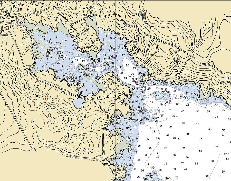
Blue Hill Harbor-maine Nautical Chart is a mixed media by Bret Johnstad which was uploaded on August 23rd, 2022.
Blue Hill Harbor-maine Nautical Chart
This Nautical Chart of Blue Hill Harbor, Maine reminds me of my youth, with the charts on the cabin table, the smell of salt and teak and the sounds... more
Title
Blue Hill Harbor-maine Nautical Chart
Artist
Bret Johnstad
Medium
Mixed Media
Description
This Nautical Chart of Blue Hill Harbor, Maine reminds me of my youth, with the charts on the cabin table, the smell of salt and teak and the sounds of terns and laughing gulls above! After a lifetime of working with nautical charts, we currently offer nautical d?cor featuring maritime wall art such as our nautical chart framed prints, metal prints, acrylic prints and more. Nautical wall art, whether large or small can add so much to the ambiance of a room. When looking to add to the nautical look of your beach house, your sailboat or luxury yacht cabin, our coastal d?cor is a great way to do so. All of our nautical charts are available on a variety of products for you. Our Nautical Chart Throw Pillows are great in any boat cabin or a nautical/coastal living room or bedroom! Our Nautical Chart Towels look great in any nautical Bathroom, by the pool or at the beach house. They also look great aboard your vessel! Here is some of the other marine, coastal or nautical artwork and home d?cor that we currently offer, however we are always adding more! Nautical Chart Artwork featuring Framed Prints, Metal Prints, Acrylic Prints, Wood Prints, and canvas prints. Nautical Chart Coastal Home D?cor including Blankets, Duvet Covers, Throw Pillows and Bath Towels, Beach Towels and Shower Curtains. Our Nautical Chart Accessories include Greeting Cards, Logbooks, Coffee Mugs, Tote Bags, Weekender Totes, Phone Cases, Puzzles and more. If you do not see your chart of a product let us know and we'll see if can add it for you! 100% of our products can be customized by moving to a different region of the chart. We can also add a location icon, Latitude and Longitude coordinates, and text, or logo. Please contact us for more info. Our turnaround time on custom artwork is usually less than 2 days. At that point the order would go into the production mode. We also print custom tile murals featuring nautical charts. Perfect for a kitchen backsplash, or showers they can be used indoors and outdoors. For more info, visit our website : https://seakoast.net/ I have worked with nautical charts since 1989 when I earned my 100 Ton Master Captains License. Knowing how to navigate with a nautical chart, parallel rules, compass and watch is much more rewarding than relying on electronics only! Every Nautical Chart has a history and a story to tell. I'm sure you have many stories from your favorite chart!
Uploaded
August 23rd, 2022
More from Bret Johnstad
Comments
There are no comments for Blue Hill Harbor-maine Nautical Chart. Click here to post the first comment.


